Introduction:
Python is a computer programming
system that is very user friendly is and is incredibly easy to pick up with a
small amount of help along the way. I found it easy to understand, and
easy to find help using ESRI's online help function to guide myself through the
process.
Script
1
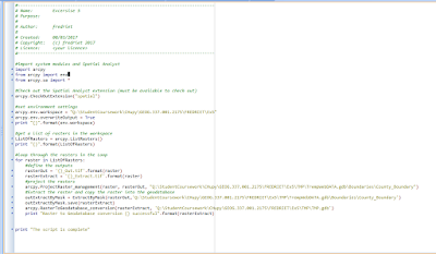
Exercise 5 I wrote out a script to project, clip, and load all of the data into a geodatabase. There was a loop code that was needed to loop through the rasters in the workspace. The code then decides whether or not it needs to be changed and will put in the correct projection.

No comments:
Post a Comment